Arizona and Utah - Grand Canyon, Zion and Bryce Canyon National Parks
4-11 November 2013
4-11 November 2013
photos by G.P. Jones using Nikon Coolpix 4300 digital
camera, except where noted
Welcome to Parker Dam
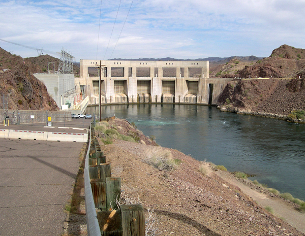
Parker Dam, on the Colorado River in Arizona, downstream from the larger Hoover Dam. Parker was built between 1934 and 1938, and has a number of Art Deco details.

Traveling Route 66 in the heyday, one would have seen many Burma Shave signs. There were always five -- the first four consisting of four lines of a simple poem, and the fifth the "signature" (in other words, the advertising). These are modern (and very sturdy) versions of the classic signs, but I'm pretty sure I saw a few of the originals still standing along the way.
Route 66 is relatively dull in between towns, except when the light and clouds conspire to make a nice view.
![Memorabelia [sic] store, Seligman, Arizona](../jpegs/utah_13/006-66_seligman_memorabelia.jpg)
No-one said rural folk was good spellurs. Dang!
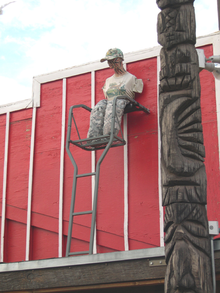
This poor figure -- a female soldier? -- seems to be a little worse for wear, sitting near the roof of a gift and snack shop in Seligman, Arizona, next-door to the yellow Memorabelia store shown above.
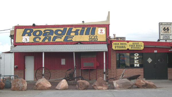
Just a bit down the road from the Seligman, Arizona shops shown above is the Roadkill Cafe. Their slogan, printed on their menus, is "You kill it, we'll grill it." I didn't ask if they were serious.
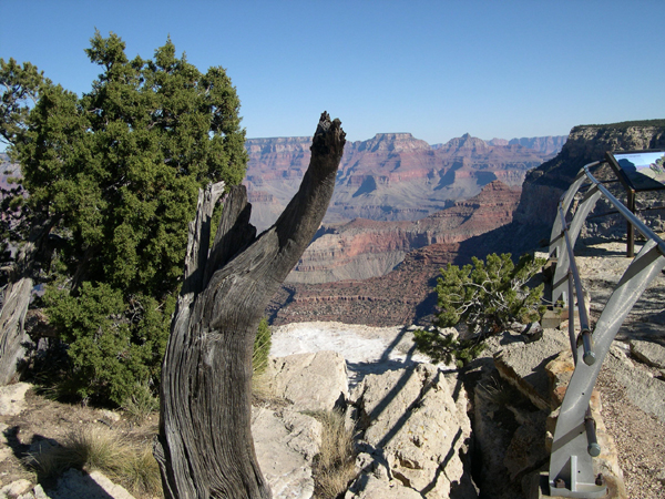
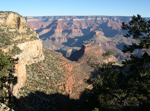
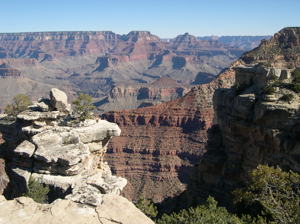
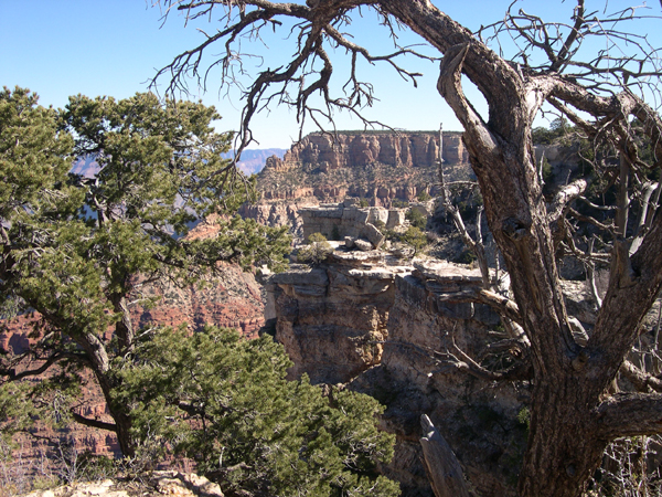
Here begins the series of my pictures from the Grand Canyon. I took at least twice as many as appear here -- same for the other National Parks pictured below -- and choosing the ones I wanted to share was very difficult.
It is not possible to take a bad picture at these National Parks if your camera is working, and now in the age of digital cameras there is virtually no limit to the number of snaps you can take. (Remembering what it used to be like to shoot colour film, then take it to a lab for processing -- and pay lotsa money for the privilege -- made me realise just why Kodak [and later Fuji and others] became such wealthy companies.)
I had to do some thinking about my photographic philosophy, and make some decisions. For example, it became clear that when I take pictures, I usually try to avoid the worst clichés, and look for subjects or angles that others might not think of.
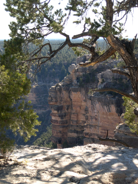
The particular elements of a picture that appeal to me are variety of colour, side- or back-lighting, and depth -- something near the foreground that frames the longer view, such as a close-up tree or rock formation at the side of the frame.
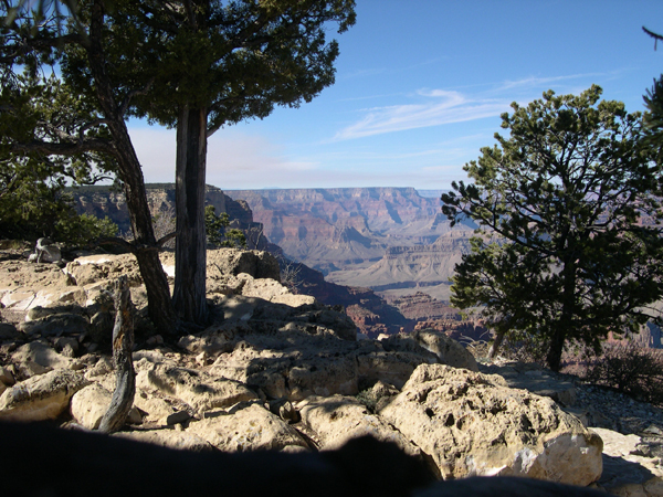
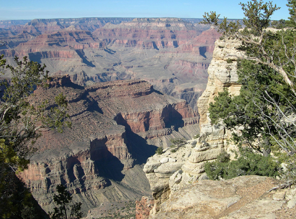
Many of the following pictures will have no captions. They were taken at some of the Park's overlooks and trails. I'll let most of them speak for themselves.
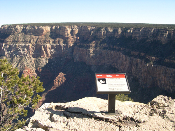
This was taken more for the joke than the view. The small sign next to the edge tells visitors -- in relatively small type -- that it is dangerous to stand near the edge. Duh!
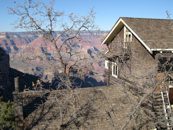
In 1904, the Kolb brothers began building their home and photography studio right on the edge of the South Rim. Indeed, the lower floors of the building extend down into the Canyon itself! Today it is a museum and gift shop.
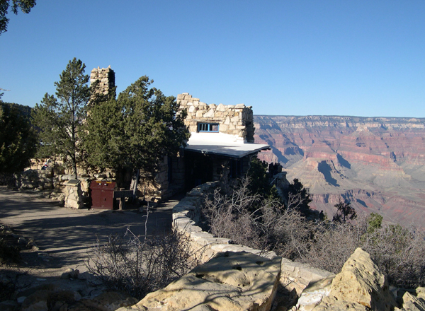
The Lookout Studio, also known as "The Lookout", is a short stroll to the East from the Kolb Studio, and for me, it is a much more interesting building. It was designed by the Grand Canyon National Park's chief architect, Mary Elizabeth Jane Colter (1869-1958), and built in 1914 by the Santa Fe railway, one of the primary early developers of the Grand Canyon as a tourist attraction. Mary Colter designed many other buildings around the Park, some of which can be seen below. Her creations usually reflected Native American styles and used natural materials found in the Canyon and surrounding areas.
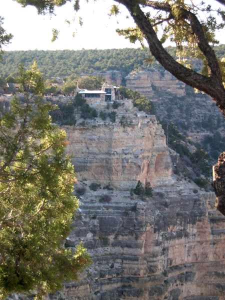
Another view of The Lookout shows its position on the rim, as well as the way it blends into the Canyon's fabric.

The Hopi House was Mary Colter's first building at Grand Canyon, built in 1905 as a commercial building and still operating as a gift shop and museum.
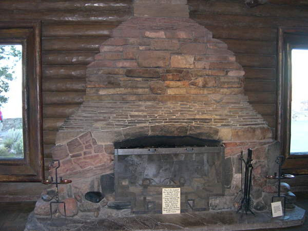
Mary Colter paid as much attention to interiors as she did the exterior design of her buildings. This fireplace, in the History Room of the Bright Angel Lodge, was constructed of Canyon rocks, and layered to simulate the Canyon's strata.

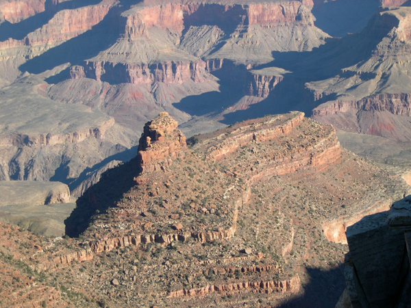
I don't know the name of the formation in the centre of this picture, but it reminds me of the Sphinx at Giza in Egypt. The closer view below shows this similarity even more dramatically.
High-resolution JPEG of this image available: click here (2.78 MB)
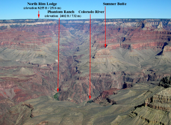
This is my picture, but I "borrowed" the annotations from an almost-identical picture mounted at an observation point on the South Rim.

Along the South Rim Trail.
High-resolution JPEG of this image available: click here (3.2 MB)
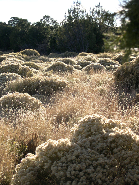
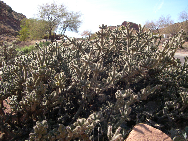
This picture, and the one below, show flora (plants) near the East Rim Visitor Center parking lot.
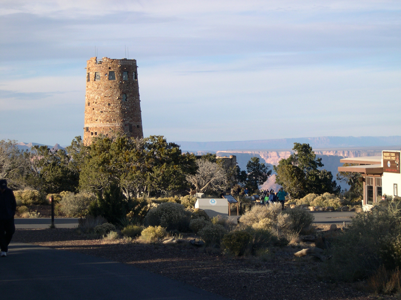
The Watchtower on the East Rim is a remarkable building, inside and out. Designed by Mary Colter in 1932, it features an interior primarily designed by Native American artist Fred Kabotie. (A Web search will show you many views of the interior.)
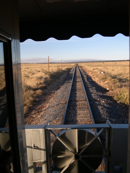
For this trip, I travelled to and from the National Park on the Grand Canyon Railway, which originally opened in 1901 as a 2-hour ($3.95 fare) alternative to the previous 8-hour ($20.00 fare) stagecoach ride from Williams, Arizona to the South Rim. This train pulls restored circa-1950s cars, including this one at the back, with an open observation deck, so you can see where you've been.
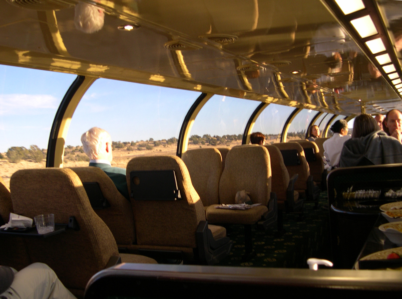
The Grand Canyon Railway is pretty touristy -- I mean, they have mock train-robberies, for corn sake! -- but comfortable, especially if you opt for the Luxury Observation car like I did.
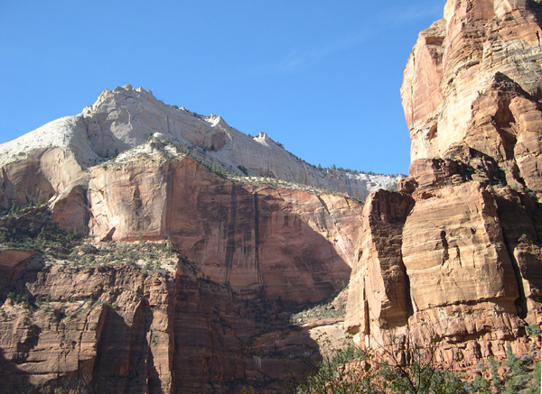
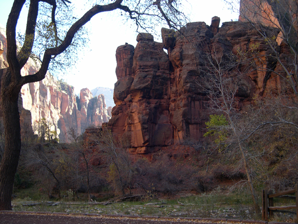
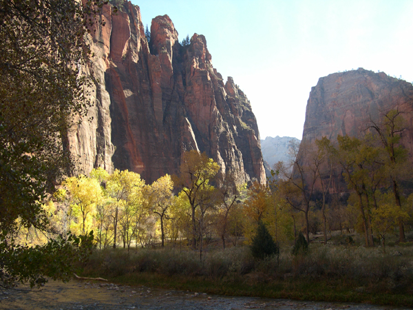
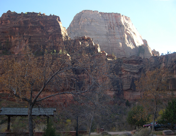
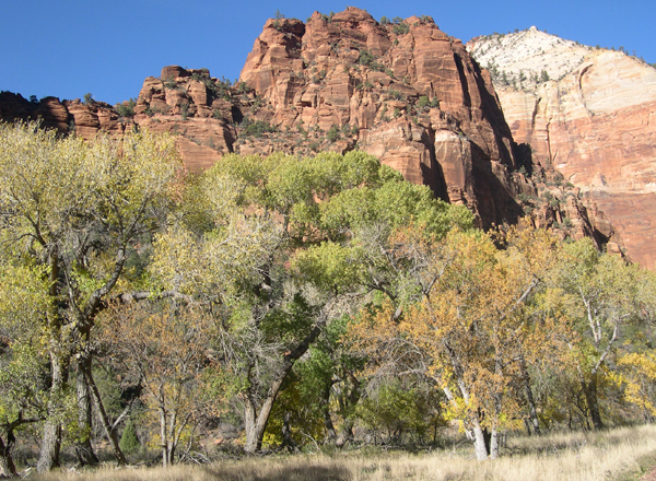
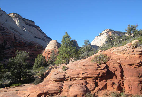
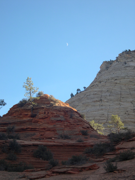
Zion National Park is part of the same massive geological formation that contains the Grand Canyon (see above) and Bryce (see below), as well as a number of other National Parks, National Monuments, State Parks and scenic roads -- the Colorado Plateau.
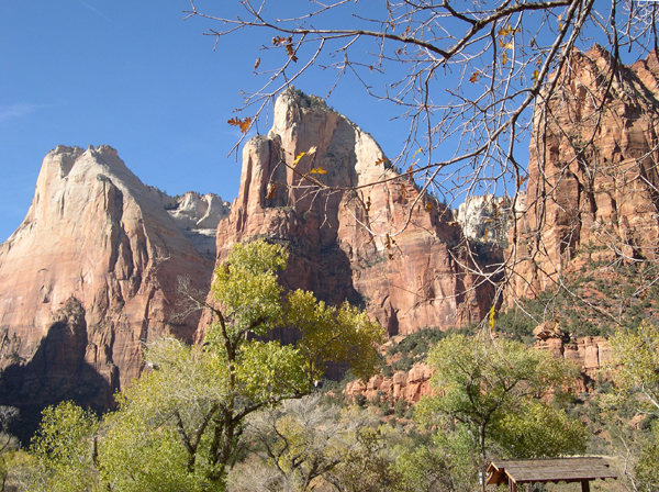
Zion is as different in character from the Grand Canyon, and from Bryce, as it can be, as you can see from the pictures of these three places offered above and below. This formation is known as the Three Patriarchs, named for Abraham, Isaac and Jacob (Hebrew Bible). I don't know which is which.
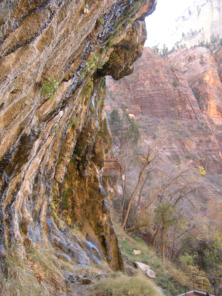
This and the picture below show the Weeping Rock, so named because small drops of water seep out of the surface and fall over the ledge.
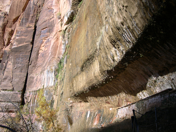
Visitors can walk onto this ledge, behind the dripping overhang. The walkway is paved (not natural), but it is unclear whether the indentation seen here was part of the original equipment, so to speak.
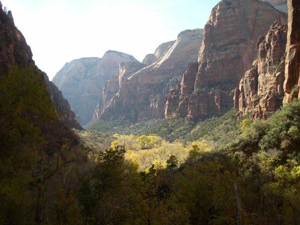
The Temple of Sinawava marks the end of the paved road -- i.e., this is as far as you can drive your car into the canyon.
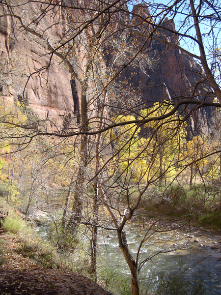
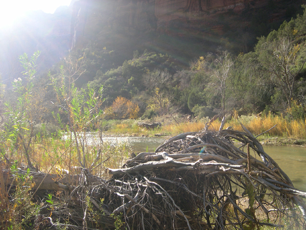
The road to and from the Temple of Sinawava (see above) generally follows the North Form of the Virgin River.
High-resolution JPEG of this image available: click here (2.8 MB)
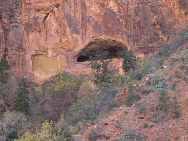
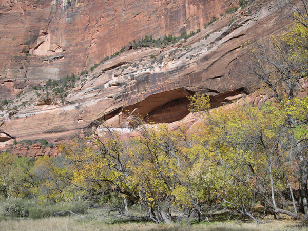
This opening in the cliff was a bit startling, looking very much (to me) like a Native American dwelling of the distant past. In reality, it is an opening in the Zion-Mt Carmel tunnel, along the Eastward road out of the Park. The tunnel was built in the 1920s, and opened in 1930.
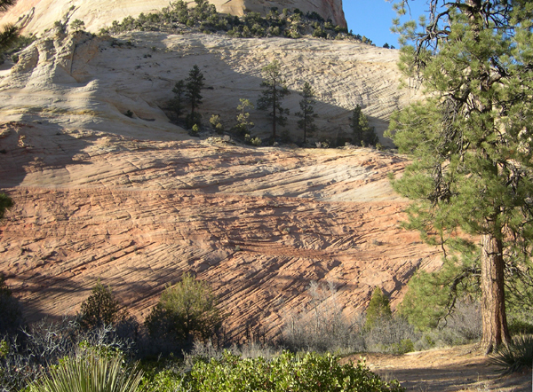
The Eastward road out of Zion is almost as scenic as the Canyon itself.

I could go for Ho-Made pies, just like the next guy, but didn't expect to find them in Southern Utah! (This is the bump in the road known as Mt Carmel Junction.) In case there's any doubt about the pun, they've illustrated the logo with an appropriately-clad waitress. Conservative Utah's version of Hooters?
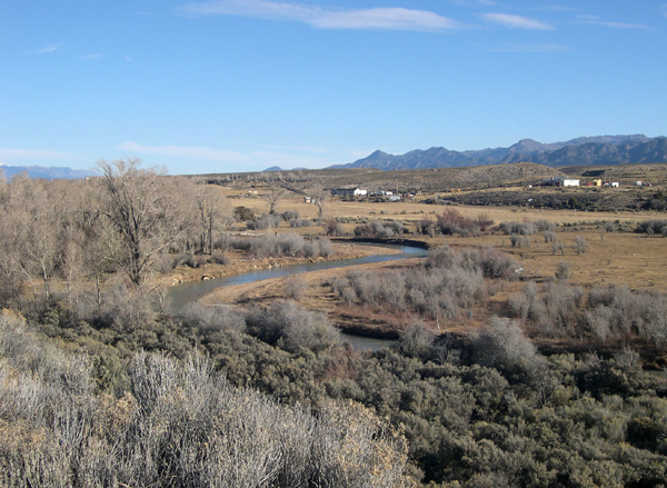
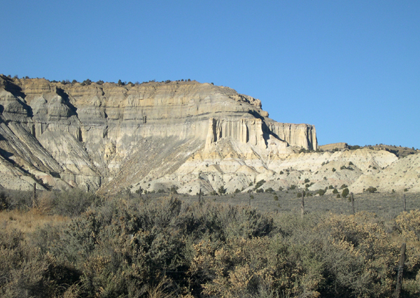
Scenes like this are quite typical in Southern Utah. Here we are on U.S. Highway 89, a few miles North of the junction with Utah Highway 12.

Utah Highway 12 leads into, and out of, Bryce Canyon National Park. If you're traveling Eastward from U.S. Highway 89, you first come to Red Canyon, about 10 miles from Bryce.
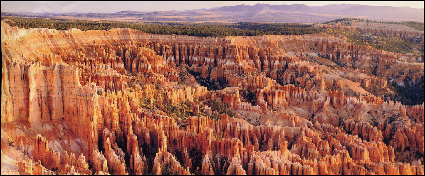
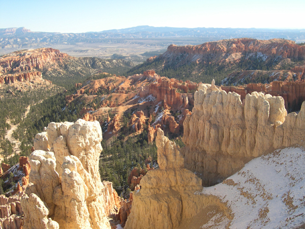
This is a PANORAMA picture -- most views of Bryce cannot fit in a normal-sized photo! To see the entire photo, please SCROLL RIGHT (or widen your browser window). This picture is borrowed from a brochure, and shows the Bryce Amphitheatre as seen from Bryce Point.
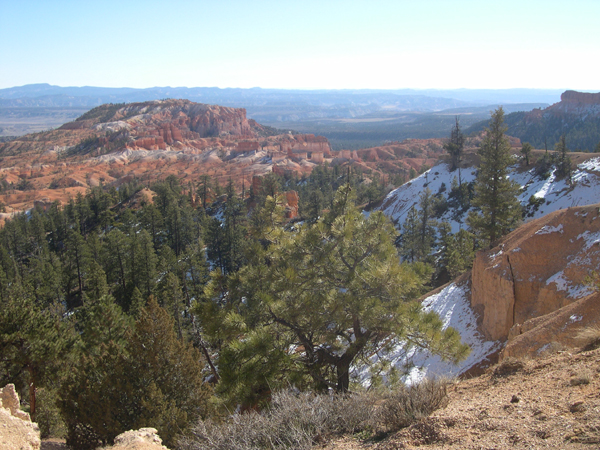
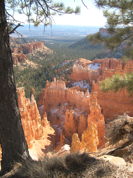
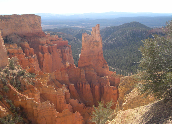
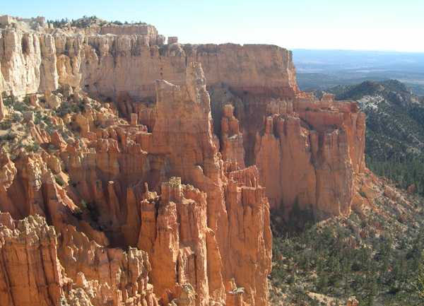
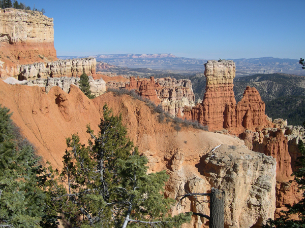
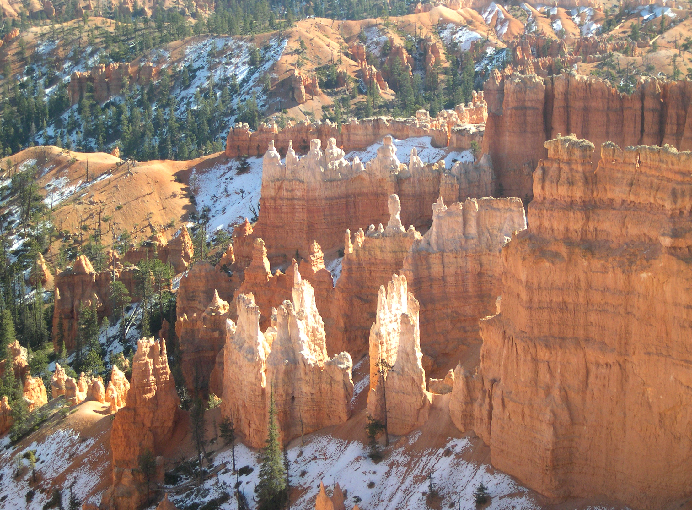
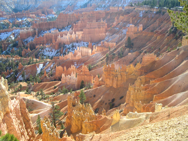
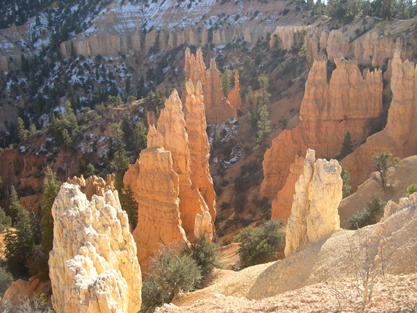
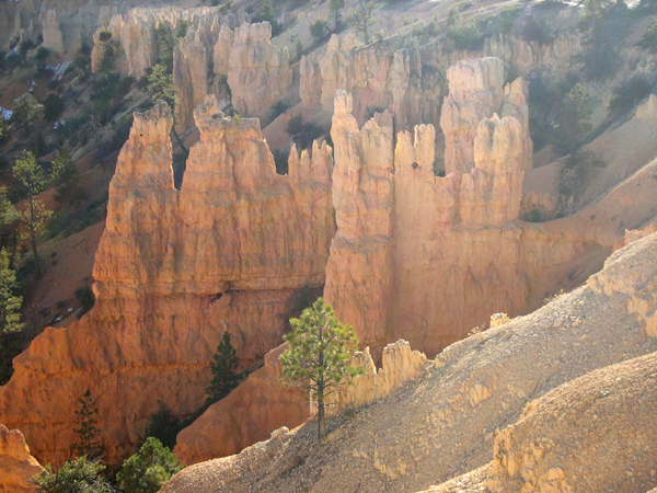
Bryce Canyon isn't really a canyon -- it's an escarpment, with high cliffs on one side, and wide plains on the other, creating stunning distance views. The overwhelming characteristic of Bryce is the reddish-orange colour of the formations along the escarpment.
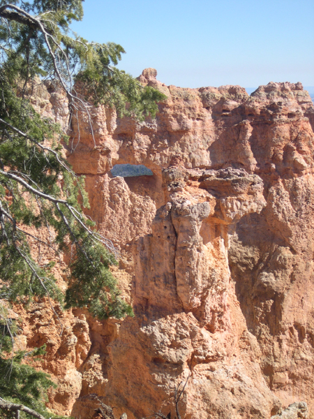
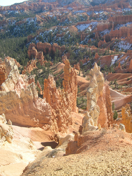
The typical rock formation at Bryce is called a "hoodoo", and probably reminds most people of a steeple or spire. Hoodoos are formed when a piece of harder rock forms on top of softer rock, sheltering the softer material from the erosion going on around it.
-
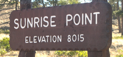
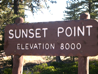
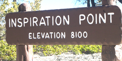
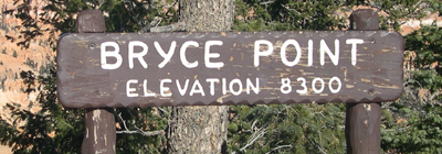
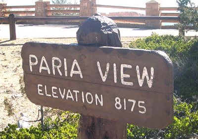
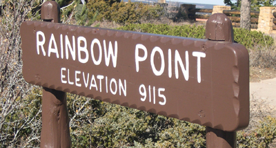
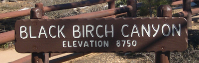
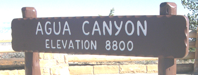
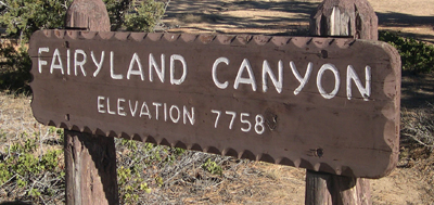
The following pictures of Bryce are "introduced" by the signs
indicating the areas of the National Park where the pictures were taken.
(NOTE: some of the pictures may not have been taken at the Points
indicated; I posted the pictures in order, but occasionally I took the
photo of the sign after the photos of the Canyon.
If a few photos are out of place, I apologise; as they say in England,
It couldn't be helped.)
Another thing: you may notice that Sunrise and Sunset Points appear twice in the itinerary below. That's because I went to these locations on the journey into Bryce, and -- after turning around at the end of the driving road at Rainbow Point -- I just had to see them again.
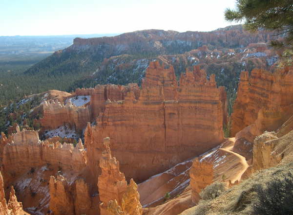
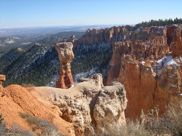
In this picture you can see Thor's Hammer, one of the "signature" hoodoos at Bryce. It is the spire just to the left of center, with the round(ish) "cap" on top. It is also seen in the next picture, from a different angle.


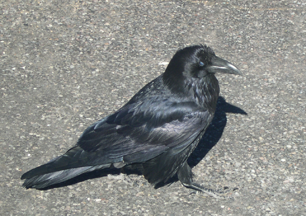
The ravens at Bryce seem to be unconcerned about being around people. When you see them up close, you begin to see why -- they could easily dismantle your face. They are big birds.
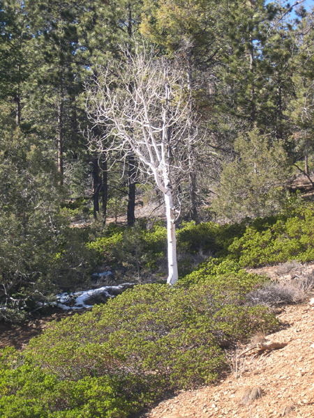
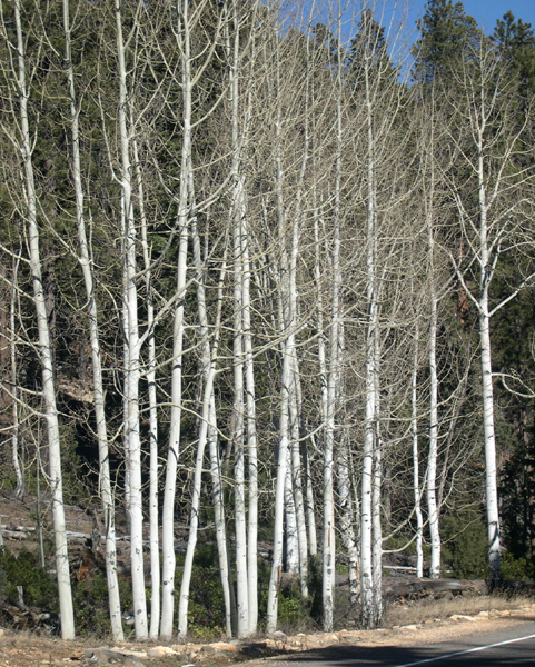
Most of the trees at Bryce are dark green (lotsa pines), which makes these all-white varieties stand out in contrast along the side of the main driving road through this National Park.
.jpg)
Here we are, back at Sunrise Point. The next several pictures were taken along the rim trail between Sunset Point and Sunrise Point.

At certain angles of sunlight, many hoodoos appear to be translucent. It is an optical illusion, according to a Ranger I met on the trail where I took these pictures. The rock is quite solid, but reflections of the light and color of surrounding rocks makes some look like light is shining through from the back.
High-resolution JPEG of this image available: click here (2.96 MB)
High-resolution JPEG of this image available: click here (3.5MB)
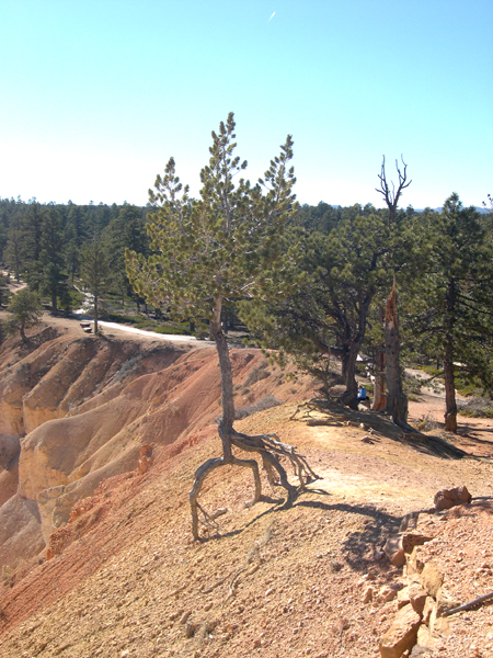
The Limber Pine grows almost anywhere, according to the information kiosk placed next to this remarkable example. Apparently, the rims at Bryce erode away at the rate of between one and four feet each century. This intrepid Pine probably started growing decades ago, and continues to hang on, supported by its bare roots.
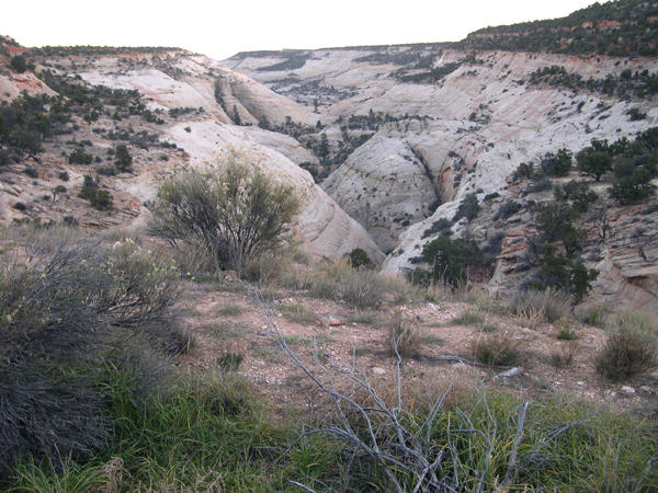
Through Grand Staircase (Escalante) National Monument
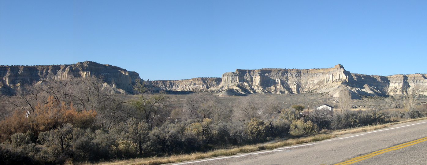
To see this PANORAMA picture in its entirety, please
SCROLL RIGHT (or widen your browser window).

This is Powell Point, a feature which can be seen in the distance from many Bryce observation points. It is about 15 miles NorthEast of Bryce.
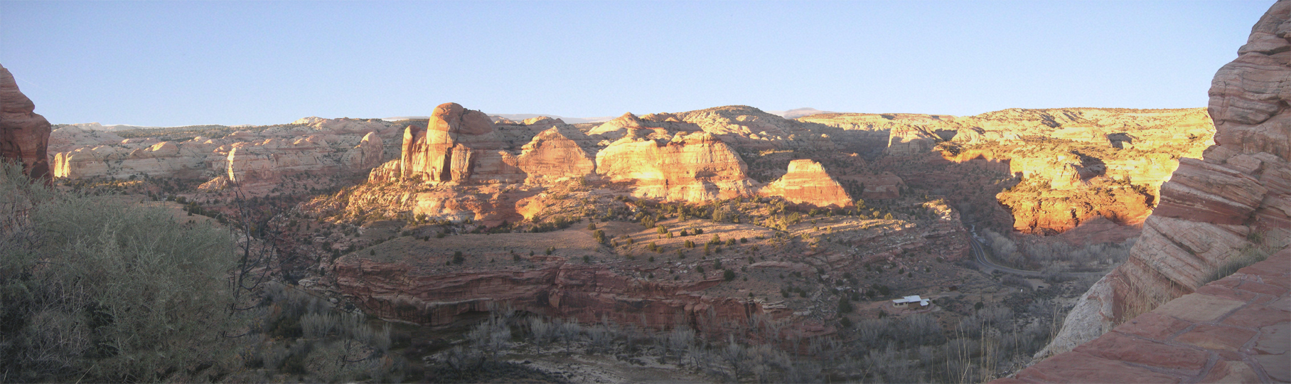
Another PANORAMA picture. To see the full image, please
SCROLL RIGHT (or widen your browser window).