British Columbia and Alaska's Inside Passage (to Juneau)
16 May - 26 May 2008
16 May - 26 May 2008
photos by G.P. Jones using Nikon Coolpix 4300 digital
camera, except where noted
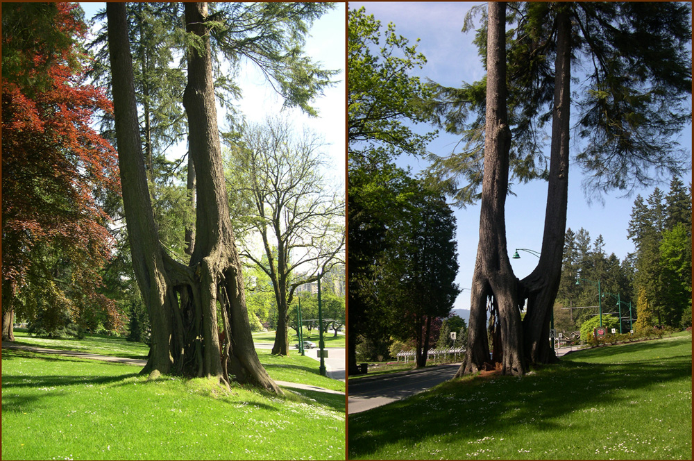
Vancouver was the first stop of any length on this trip. Here are two views
of a see-through tree in Stanley Park.
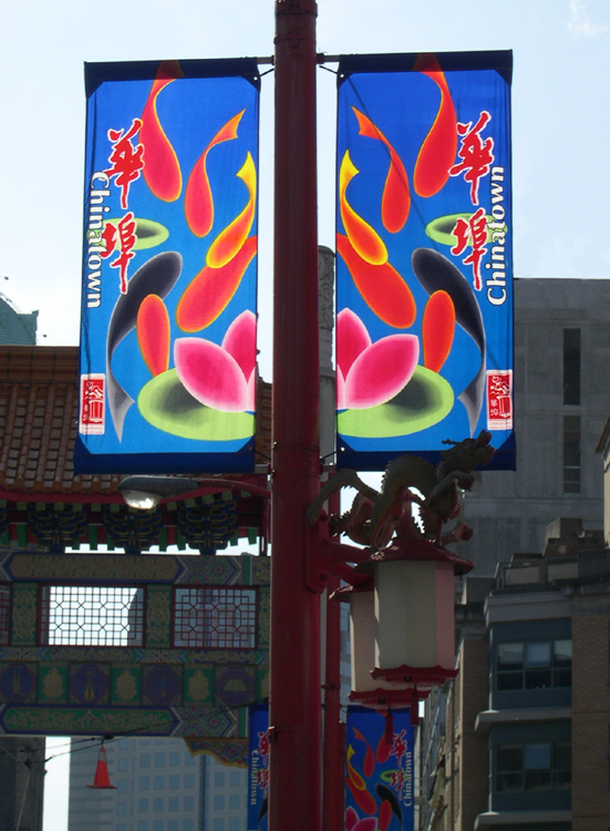
This is the first time I've seen translucent banners. Really striking.
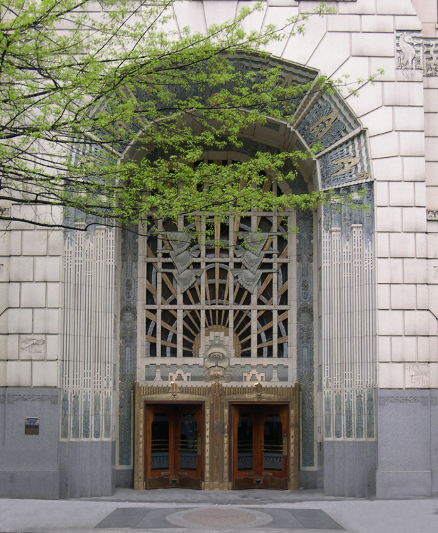
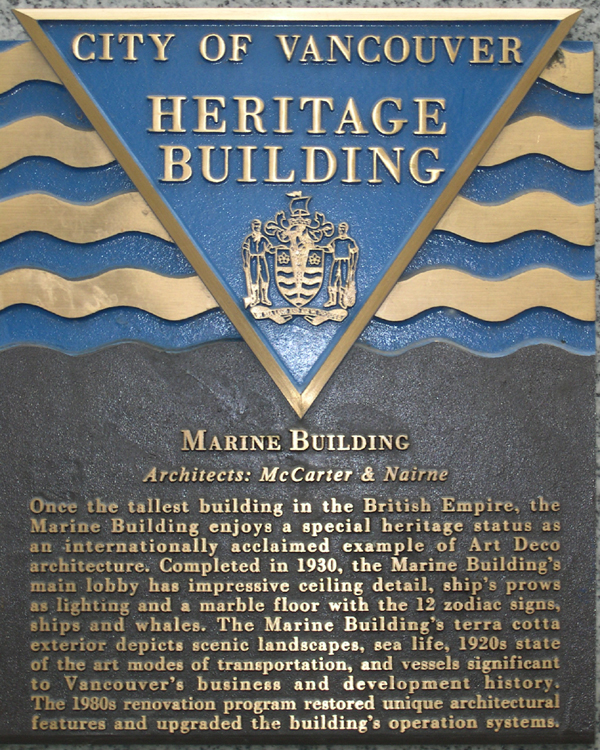
One of my top interests is Art Deco. The Marine Building in downtown Vancouver is
an historic example. This is the main entrance.
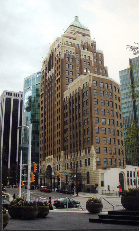
For a short time, The Marine Building was the tallest building in the
British Empire. The entrance shown in the first picture is at the lower
right in this full view (image from postcard.)

Main lobby, showing the inside of the main entrance (image from postcard.)

May in Vancouver is still pretty early Spring, with trees still budding.
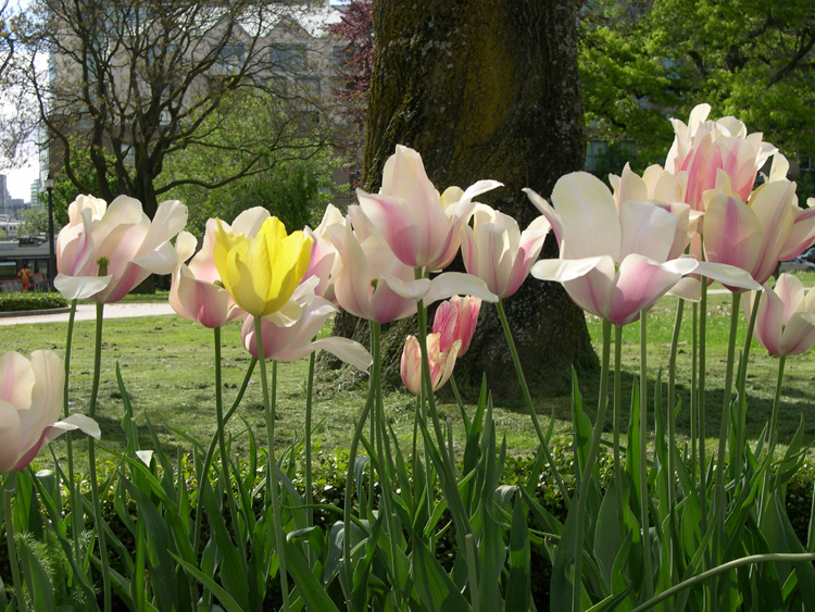
Integration among tulips. Encouraging.
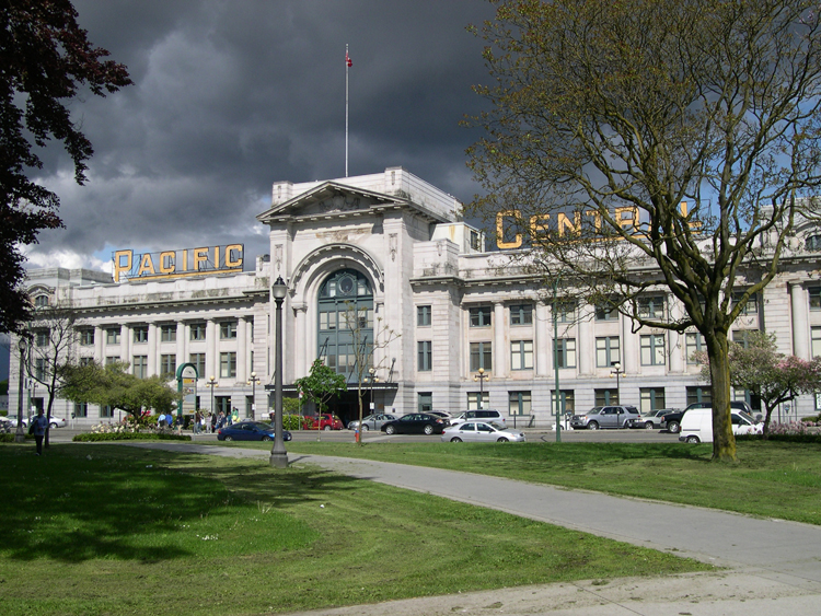
This is the Western terminus of the trans-Canada railway, and in my case
the starting point of my train journey through British Columbia.
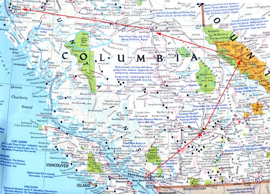
This map shows the 3-1/2 day train journey. From Vancouver to Jasper
is an overnight trip, with sleeping accomodations if you're willing to pay
(quite a bit) extra. The Jasper to Prince Rupert route is a special train called
"The Skeena", as much of its route is along the Skeena River. That leg
of the trip involves a mandatory overnight (train, crew, passengers,
everyone) in Prince George, continuing to Prince Rupert the next morning.
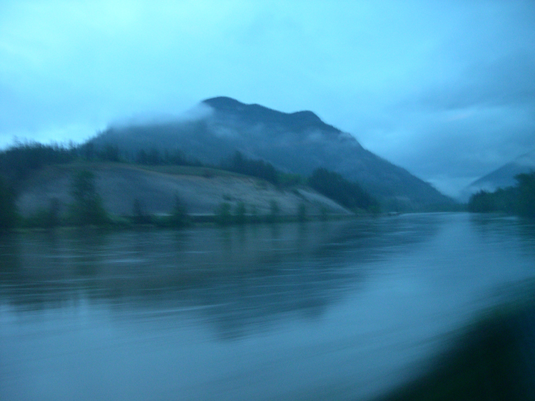
Sleeping in a regular train seat, one tends to wake up early. This is what
one might see just before dawn.
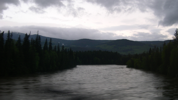
Another early-morning scene, a bit later than the previous picture.
Notice the return of relatively normal coloring.
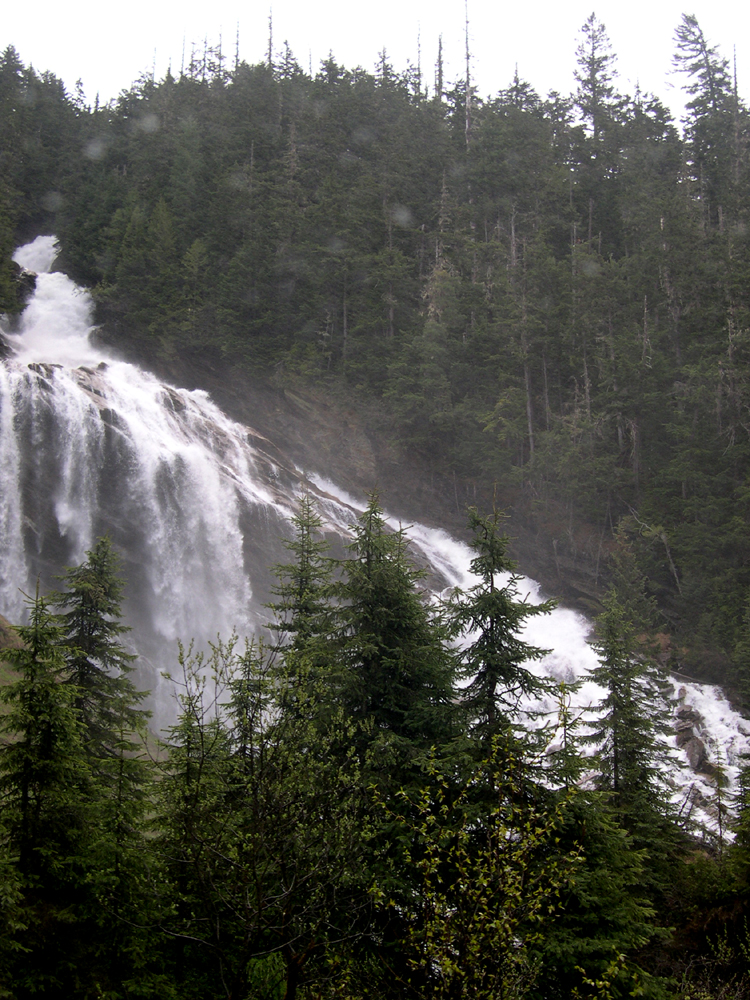
This was nearly a missed opportunity. About a half hour before passing
this impressive waterfall, the Conductor made an announcement that we would
have the chance to see Pyramid Falls on the right side of the train. Then,
just a couple of minutes before passing the Falls, a woman came on the P.A.
and said "get your cameras out, Pyramid Falls is coming up on the left".
Some of us remembered the Conductor's words, but this was the latest
information, so everyone with a camera got ready on the left. Of course, the
Falls was on the right of the train, as the Conductor originally had said.
We found out much later that the woman had said the Falls would be on the left
because . . . wait for it . . . when she made the announcement, she was facing
the back of the train!
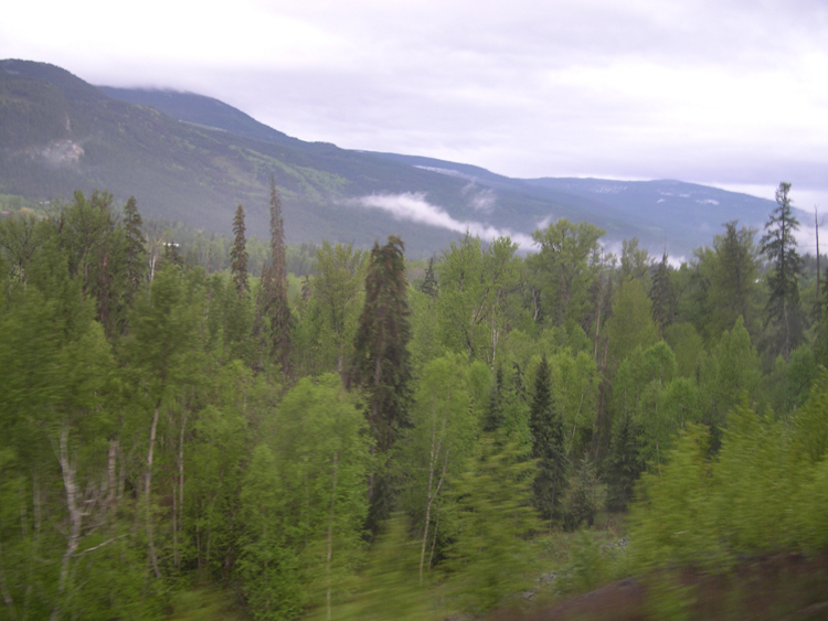
I'll just let the rest of these rail-journey pictures speak for themselves.
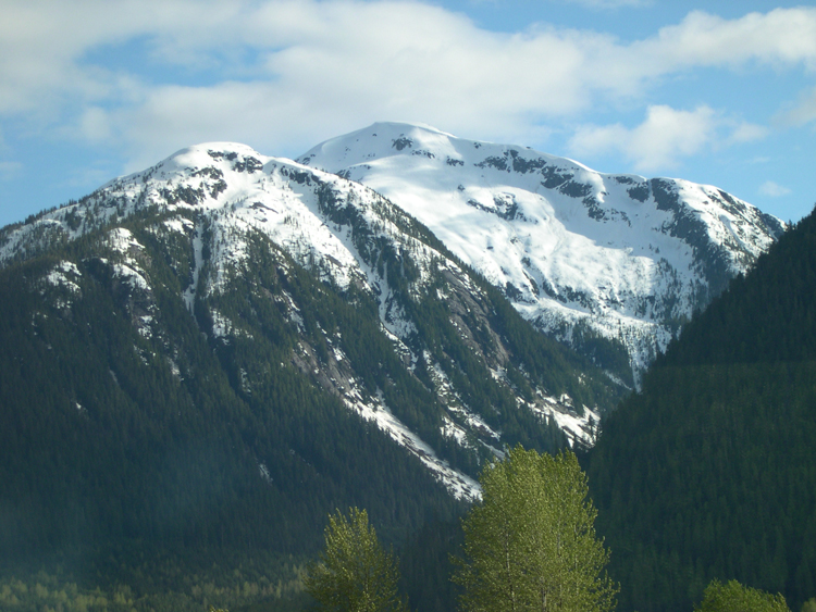
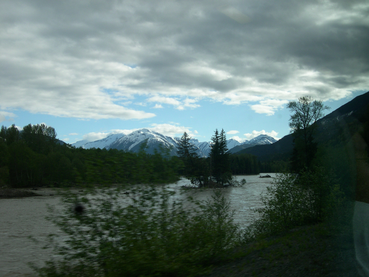
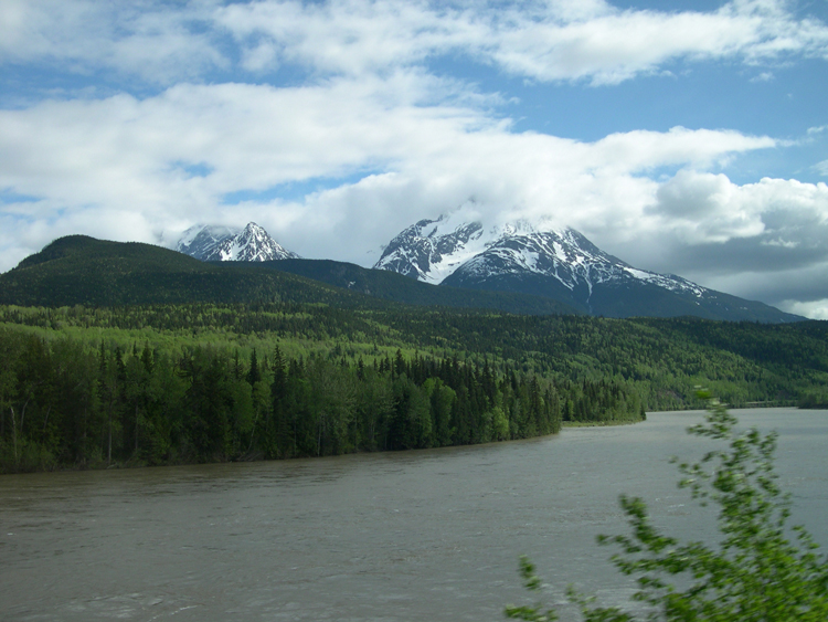
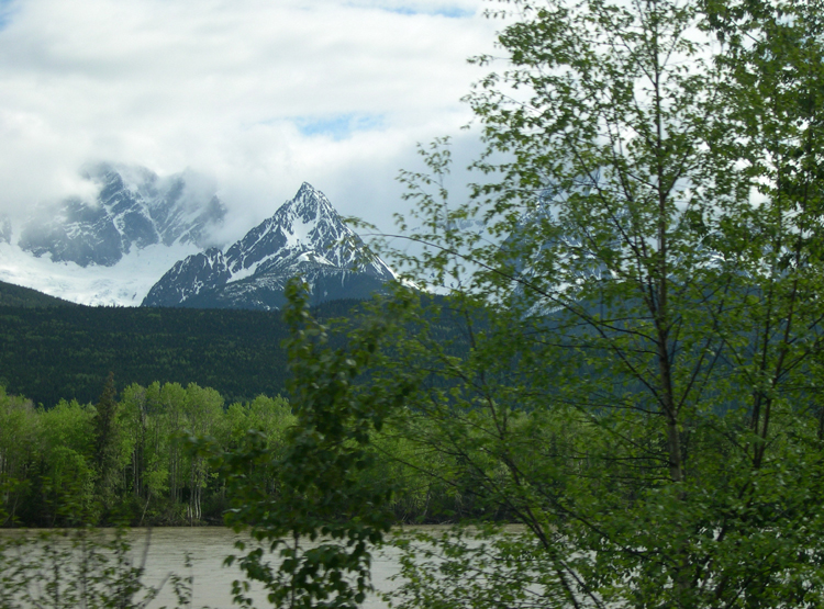
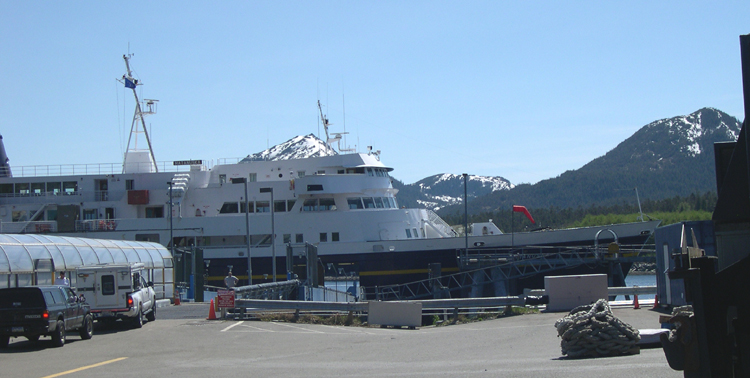
In Prince Rupert, I boarded the M/V Matanuska for the 25-hour
voyage to Juneau. The ship is seen here in Ketchikan Harbor, the first
stop on the voyage. It really is just like a small cruise ship, only without
the on-board swimming pool and gourmet food and ballroom dancing.
Oh yes, at a fraction of the price of a similar cruise.
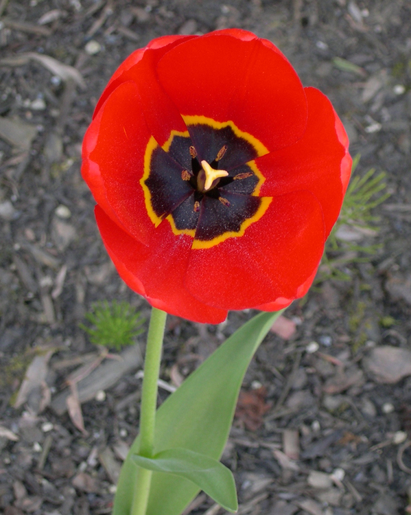
The Matanuska was docked in Ketchikan for about 2-1/2 hours. As I was walking
around, I noticed this solitary flower in a space next to a building, completely
surrounded for 20 or 30 feet in either direction only by the gray stuff seen in
the background. The contrast was remarkable.
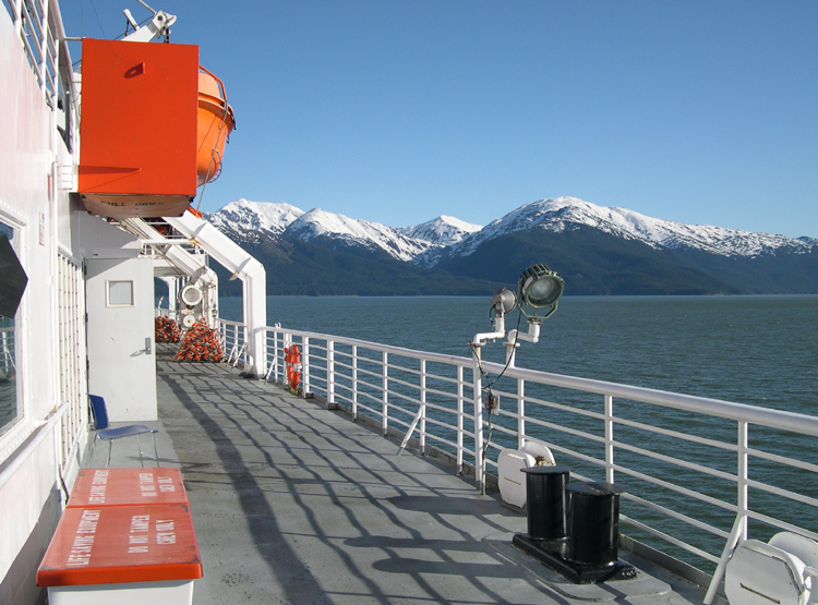
The weather for the entire trip from Prince Rupert on was perfect; even
the Alaskans were saying so. Crystal clear and in the 70s (Fahrenheit).
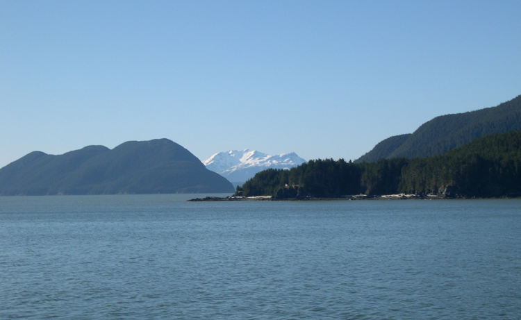

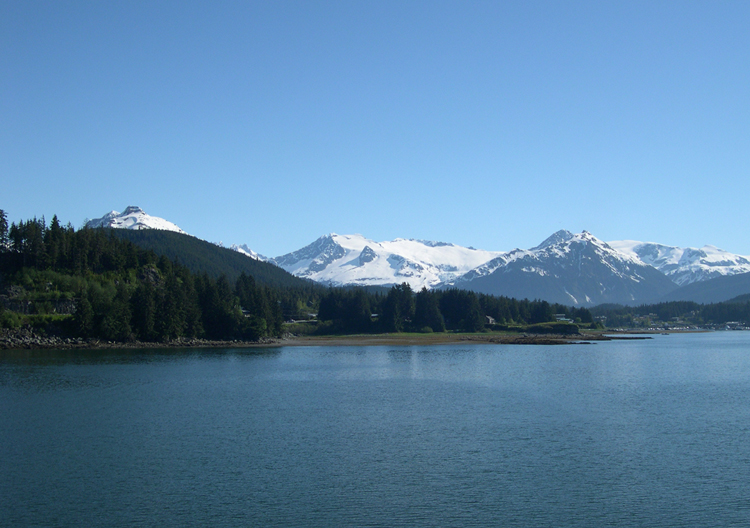
The ship doesn't approach Juneau from the South, as the passage is
apparently too narrow, so spends an extra hour or so going around several
islands "in front" of Juneau, and approaches the area from the
North. The ship docks in Auke Bay, about 12 miles North of Juneau.
This shows the final approach into Auke Bay, looking South.
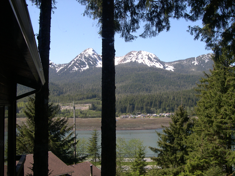
My choice of accomodations again was fortuitous; this was the view from
the Glacier Room where I stayed. Actually, contrary to its name, it was quite warm.
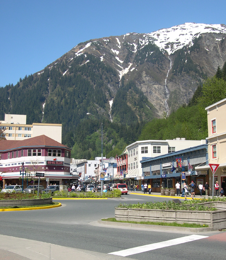
Juneau is the State Capital of Alaska, but it was a Sunday, so the only people
around were the tourists from the three cruise ships docked there.
The city is located in an awesome natural setting.
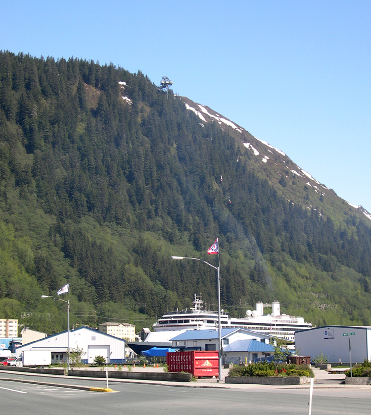
The only really interesting thing to do that day (my opinion) was to take
the tram up the side of Mt Roberts. This picture shows Mt Roberts, with the
ends of the tram shown by the red arrows.
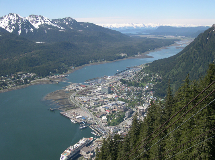
The view is unequalled. Without the tram, I wouldn't have climbed it, that's
for sure. This picture shows the downtown area of Juneau . . .
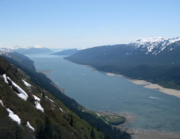
. . . and this looks Southward, along the "inside passage".
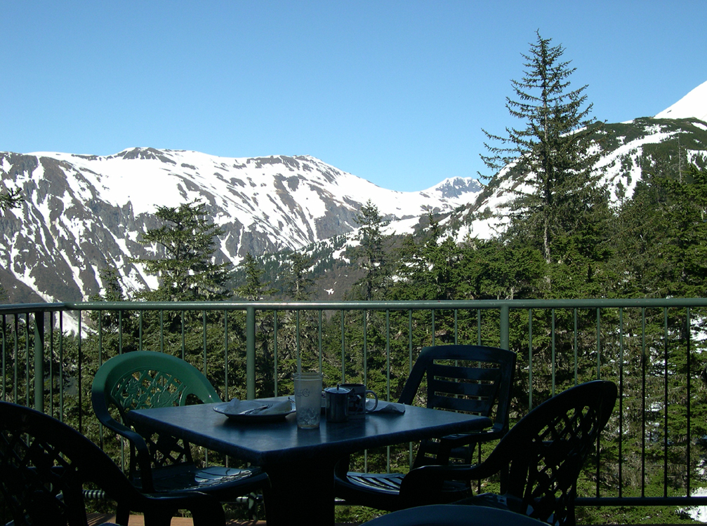
It turns out that the restaurant at the top of Mt Roberts was the only
acceptable place I could find to have a complete meal -- most other choices
were fast food or "Saloon" fare (hot wings, pizza, &c.). With this
view while dining, who could complain? (By the way, the ground around
the restaurant building was still covered in snow, even in May.)